I honestly didn’t have any idea that this national park existed until this past year when we were on a British Columbia road trip and it popped up on things to do near Revelstoke. It was our first time in the area, so we were happy to learn that there were multiple national parks within an hour of where we had planned to be. If you can extend your trip or have this as part of your trip, you won’t be disappointed.
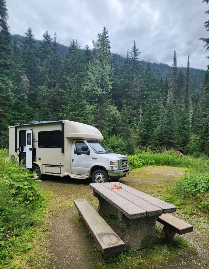
Exploring Glacier National Park in British Columbia is made easy by the amount of campgrounds near trailheads or just down the road. Easily a day trip, but even better is a couple night stay in one of the many campgrounds. Our suggestion? Illecillewaet Campground (read more below). Right from the campground is the parking lot for almost a dozen trails. We saw one picture of the Abbot Ridge hike and knew we had to do it!
Getting to Glacier National Park in British Columbia
This national park gets overlooked as it isn’t the easiest to get to unless you are already heading in that direction. It’s an hour east of Revelstoke and four hours west of Calgary on the Trans-Canada Highway (Hwy 1). It is also around 3 hours away from Banff National Park if you wanted to make a 5 national park trip.
Hike Abbott Ridge in Glacier National Park
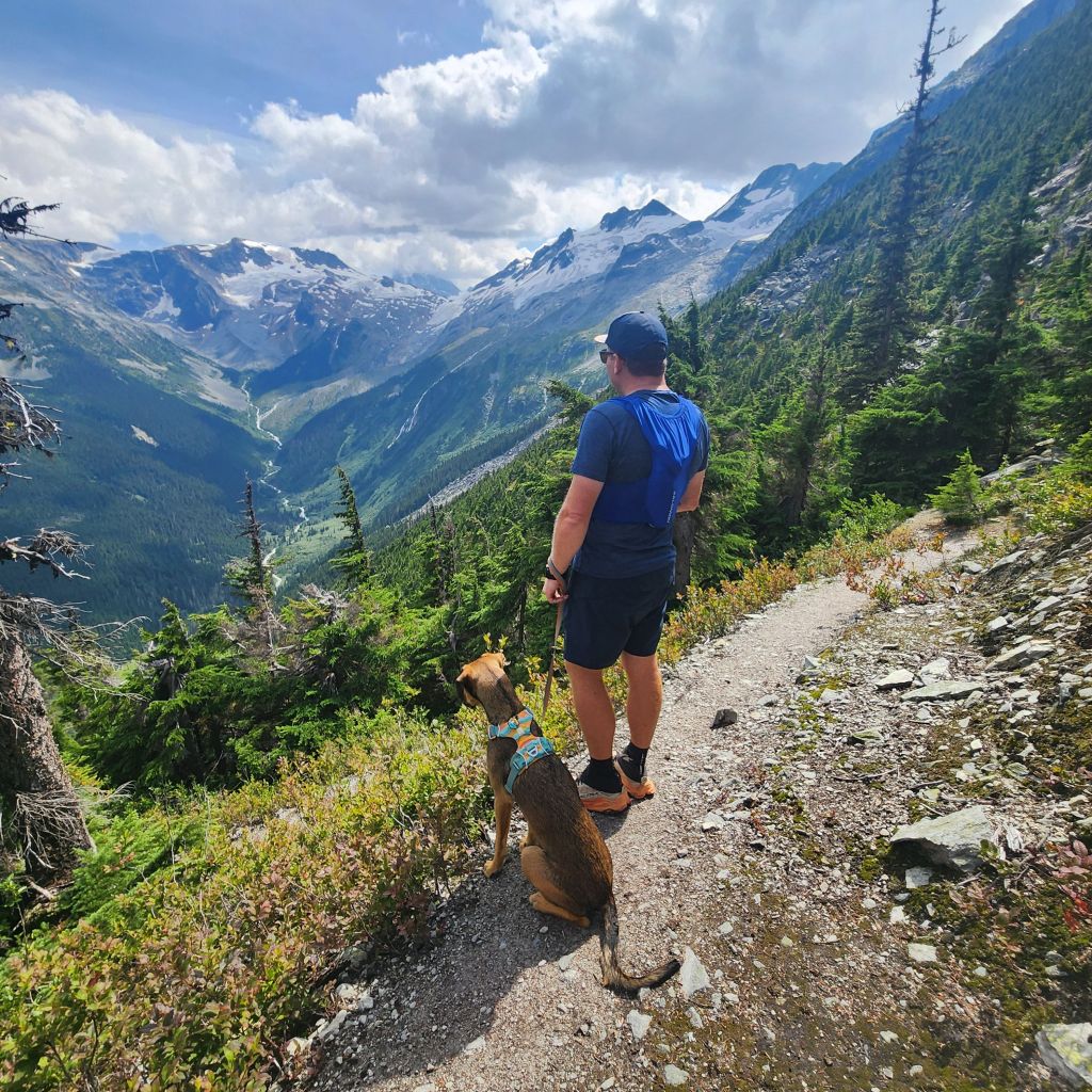
This truly was one of the most beautiful hikes we have been on. British Columbia seems to want to claim the best hiking in Canada. There were a few options of ways to do this hike. Two out and backs and an odd shaped unclipped fanny pack (if you can picture that). We opted for the hard elevation gain with the gradual elevation loss on the way back. The best part of this national park, it is dog friendly!
Miles: 9.3 ♦ Elevation Gain: 3,520′ ♦ Trail Type: Out and Back or weird loop ♦ Trail Level: Moderately Hard ♦ Moving Time: 3:45:58 ♦ The recommended time to allot for this hike is 6-8 hours, so be aware of your start time and your ability to finish safely.
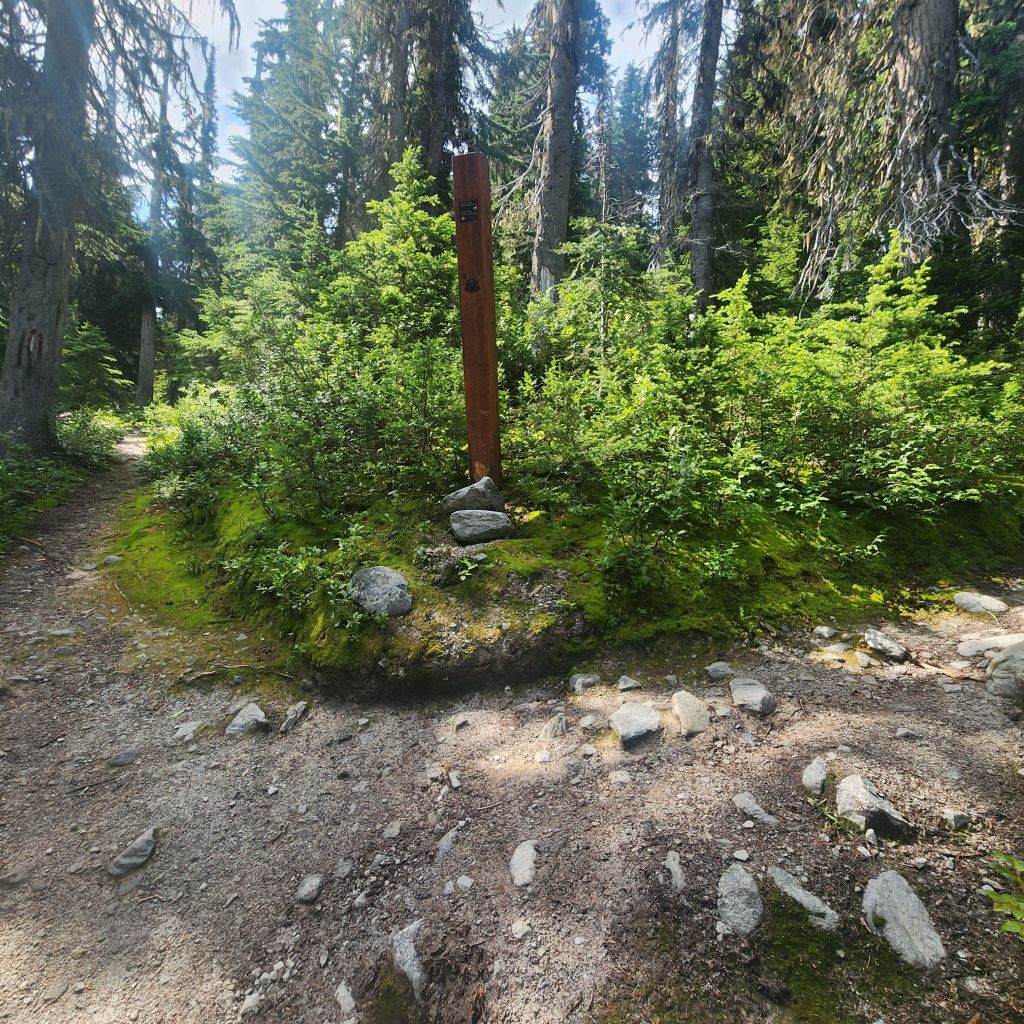
Another reason to camp at this trailhead is that the parking lot is not that large. People will park up and down the road and sometimes in your campsite or an empty campsite. Head right through the parking lot and you will find a vault toilet and a short travel path that leads up to where you will need to take a right over a bridge to get to the actual trailhead.
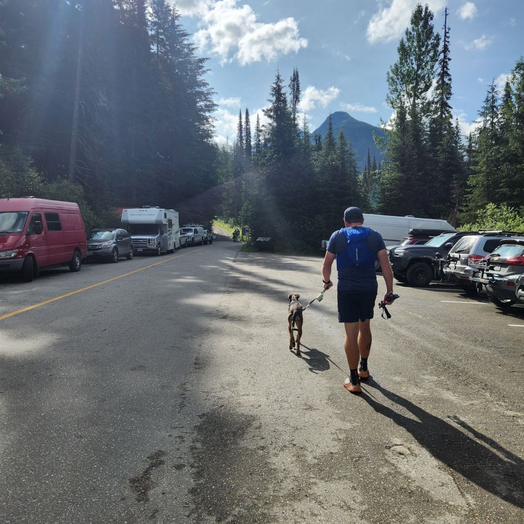
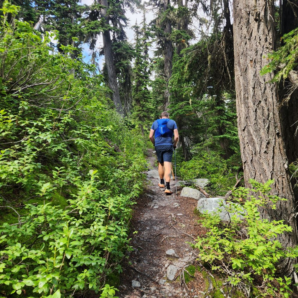
After you take that right hand turn you will see a table set up where the park volunteers come and answer questions, point people in the right direction and provide education on the area. After passing this booth you will take a right and walk along a well maintained path that is the only flat that you get. The trail is very busy as this is the start for multiple trails in the area. Before you cross the bridge there are trails, trails coming from another direction to the table and multiple off shoots as you hike past the table. There are multiple signs pointing you in the right direction and of course, you can ask at the volunteer tent.
Make your way towards Abbott Ridge and Marion Lake trails to the right after passing the table.
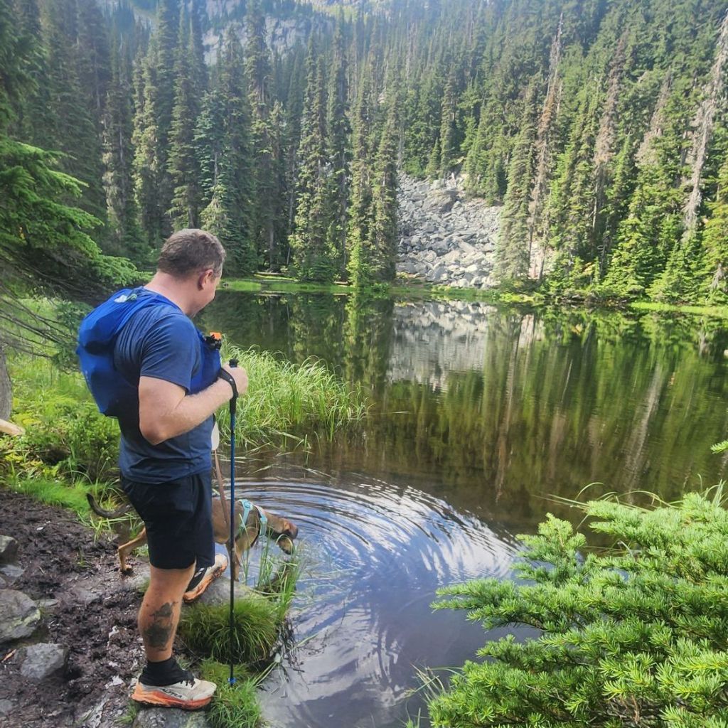
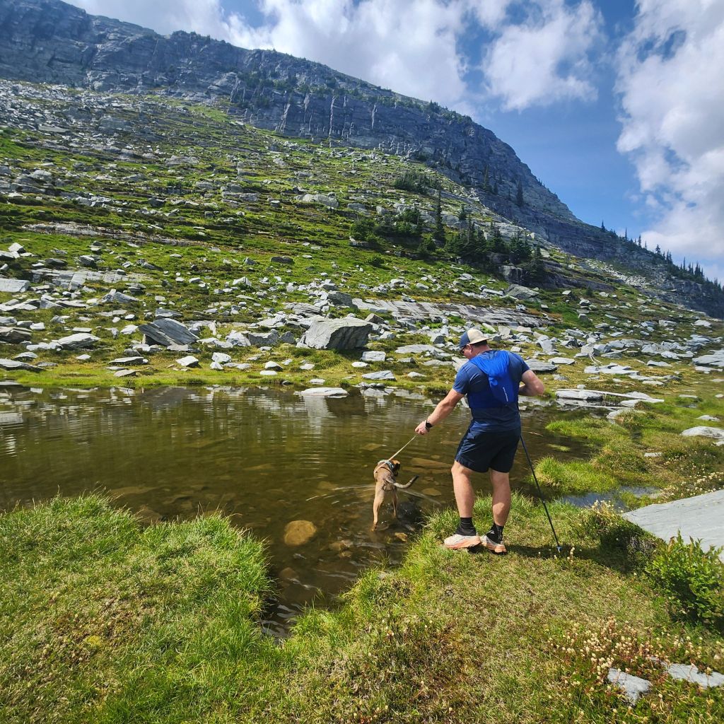
It is a grueling climb if you decide to cut some length off instead of doing the out and back on the gradual trail. It is a beautiful climb though. At 1.75 miles you reach the small lake. One of two spots for your pup to get a drink.
Continue to the left of the lake and at miles 2 you will be given a choice. The long and gradual way to the left or the shorter and steeper way to the right. We went right.
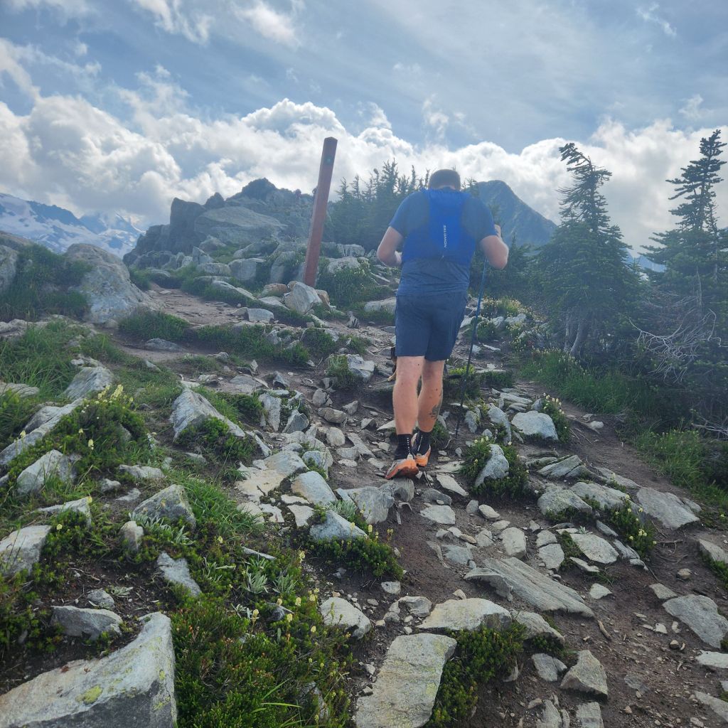
It is very steep but it will be worth every painful step or thought that goes through your head that you may not make it or you don’t want to continue on. Just get above the trees and you will reach the part of the hike where it opens up and your first views of the area appear.
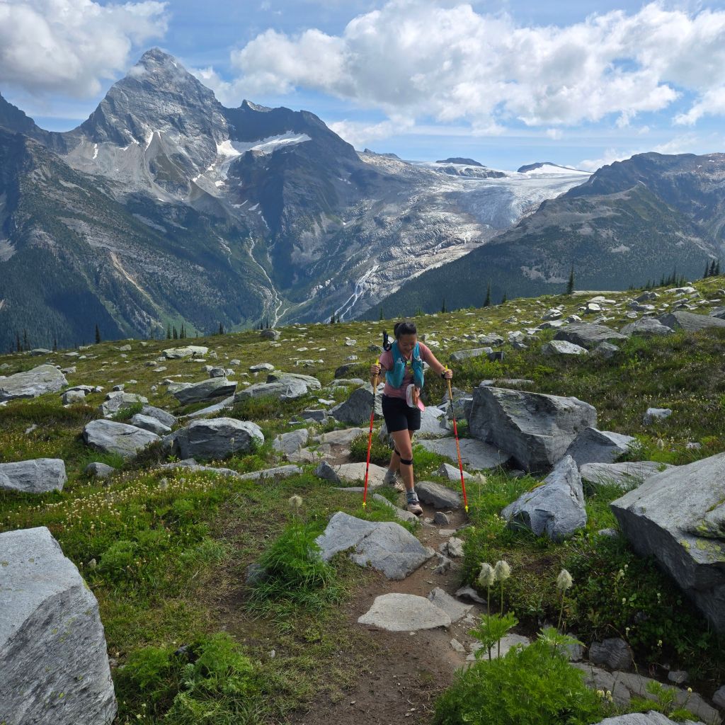
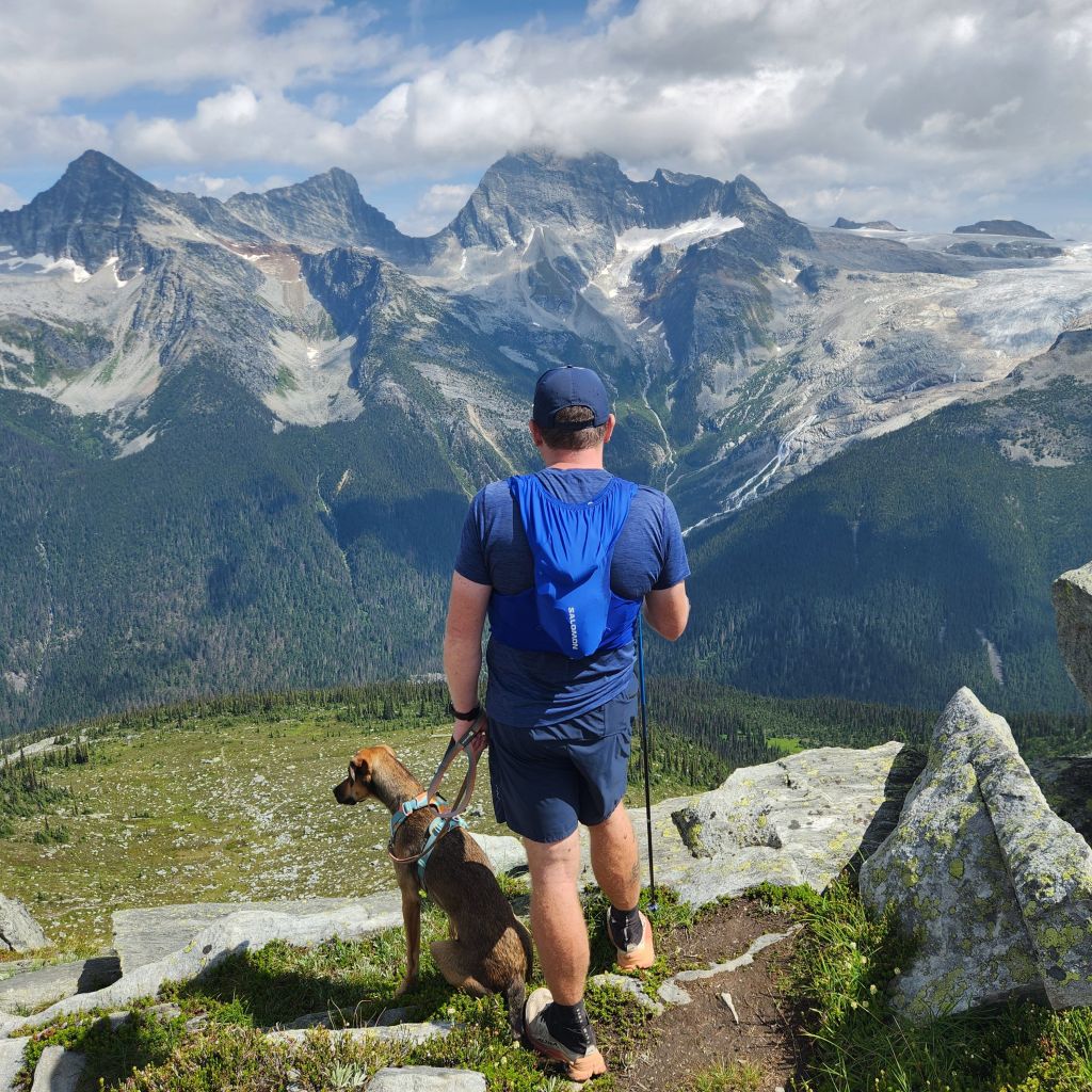
Shortly after that you will make it to where the longer way meets up and then the second lake for the pups. Don’t look up though, because that is the top of the ridge that you climb to.
The views help get your mind off of every tough step. The altitude will play with you muscles if you are not used to being up this high. The trailhead sits at about 3,000′, and as you get closer to the top you are close to 7,000′ so take your time.
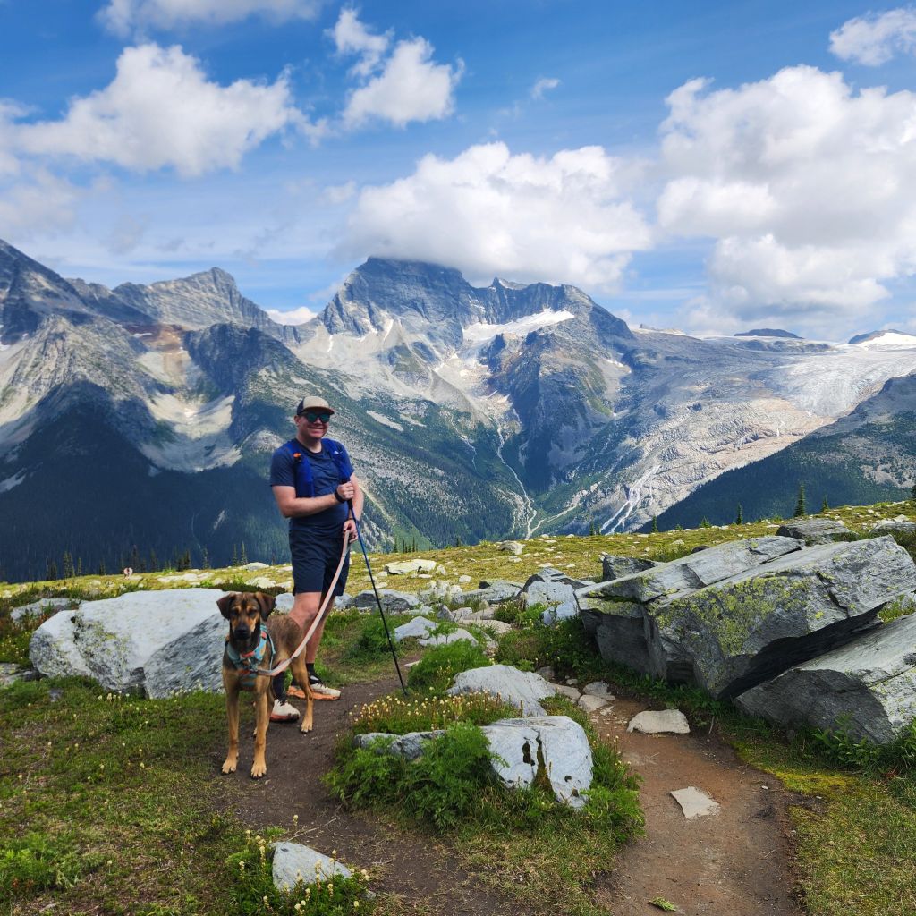
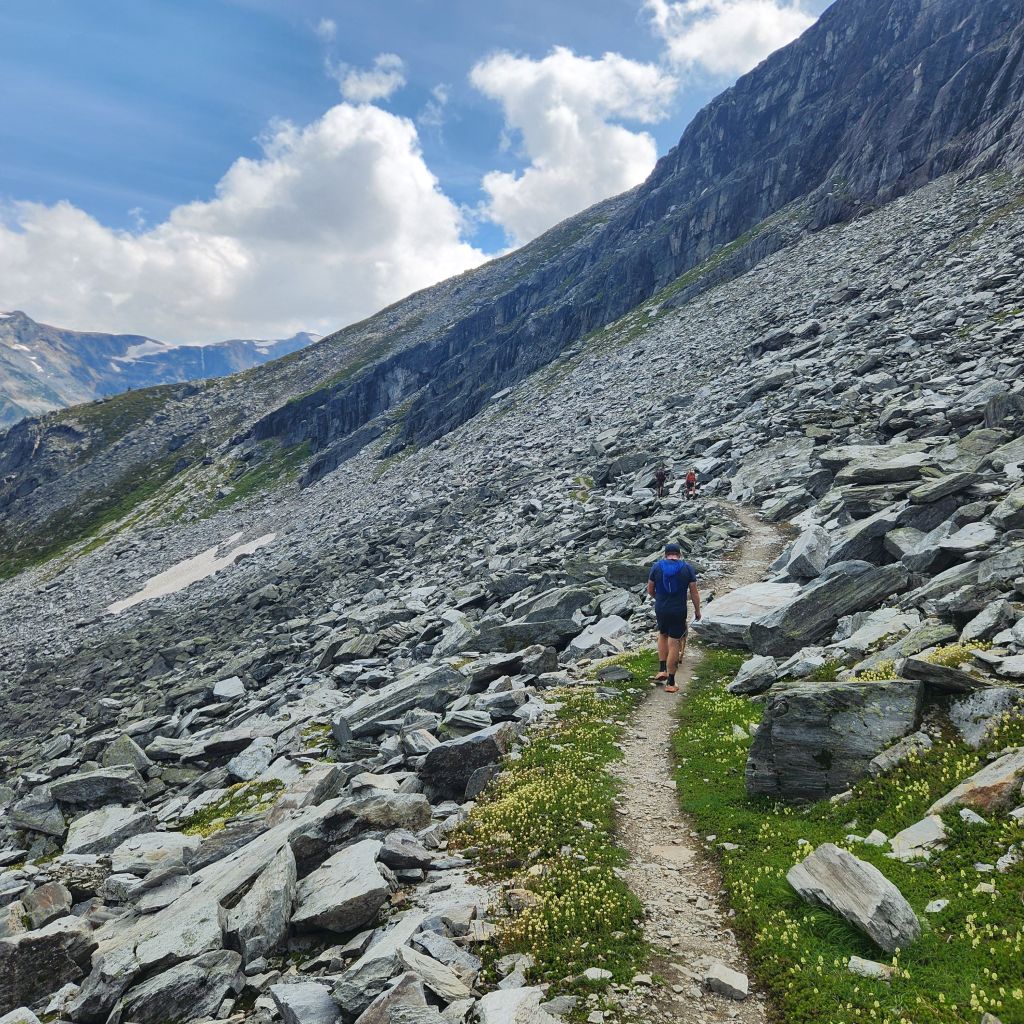
At 4 grueling miles you will make it to the end of the trail and the ridge line that is a hike at your own risk. The marker is officially the end of the trail. After that, as you saw coming up, there are steep drop offs. It also becomes very rocky and there is no kept trail. We kept going for a bit but with a dog, we didn’t feel good about going too far.
We found a great spot for a rest though and I truly didn’t want to leave. The weather was perfect and the views some of the best we have seen! I started to wonder if we could get approval to drop our RV right here!

Then it was time to head back. We took the longer way back and we were glad we did. It was definitely gradual and easier on the knees. We even got a little running in!
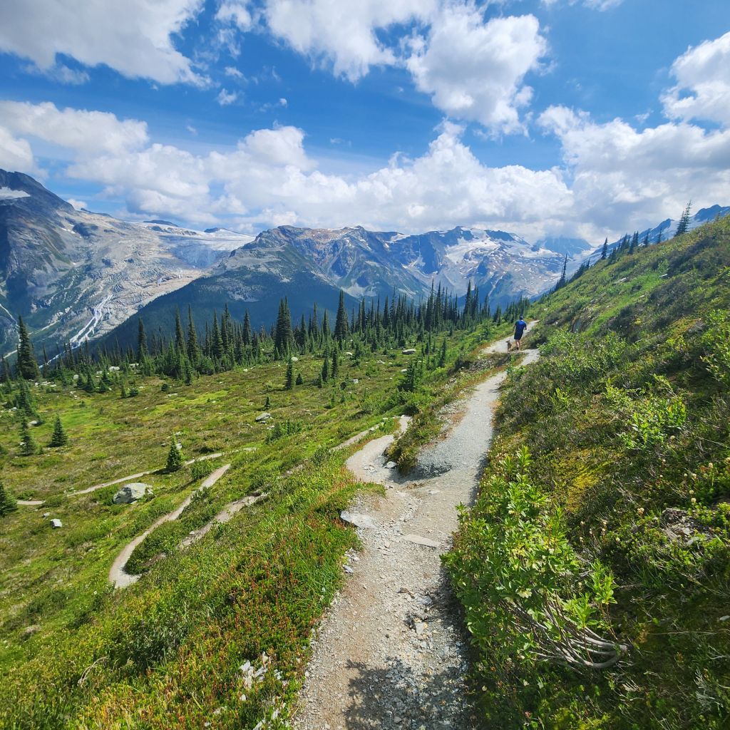
Still the same beautiful views.
You will enter a rocky area, but there is a path the entire way through. No ankle breakers but still be careful!
Then before you know it you are back where you started. Again, we were happy that we were at the campground. We immediately were able to open a cold can of coke and beer and then take a hot shower.
A few things before you go on what you should have on this hike. Good hiking shoes/trail running shoes, hiking poles, water and snacks are a must for this. A hat, chapstick, glide, sunscreen and emergency mole skin is recommended.
Always remember to practice LEAVE NO TRACE!
Camping in Glacier National Park, British Columbia, Canada
There are multiple campgrounds in the national park. If you are reliant on Starlink, you will have to drive through to check the tree coverage. We stayed at Illecillewaet Campground for this reason and because it was at the trailhead for Abbott Ridge. We were lucky to find a spot without neighbors and a clear view of the sky! This campground also had spots along the river that are better suited for car/tent camping but if you had a small van you could fit. We preferred our space for the open skies and space.
Follow along for more amazing hikes! (no spam at all!)
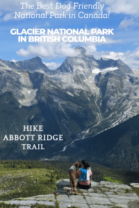
Love to pin, use this one!


One thought on “Hike Abbott Ridge in Glacier National Park, British Columbia”