What a stunning hike for being so close to Salt Lake City and Park City. The most popular trail in the area is the Wasatch Crest Trail. It is the most popular with mountain bikers, but hikers and trail runners find a way to explore the entire trail. In a lot of the reviews, people would mention that they did a side trip to Desolation Lake, as it was a pretty lake in the mountains. I would argue that the hike to Desolation Lake and Desolation Lake is a destination on its own! It was an incredible introduction to the area and if that was it for our hike that day, I would have been just as happy!
Hike to Desolation Lake via Mill D North Fork Trail in Utah
Miles: 7.8 or 13.1
Elevation Gain: 1979′ or 2,969′
Trailhead Elevation: 6,200
Parking Lot: Mill D North Fork Trailhead.
It is a busy trailhead with about 20 parking spots at the trailhead and right across the street there are maybe another 10 or 15. Do not tow anything as you might not get a spot or be able to turn around. Our 22′ van was able to get a spot that we knew we could get out of when we got there early.
Here are the coordinates: 40.649501, -111.648121
Difficulty: Moderately Hard
Dogs: Dogs are welcome on a leash in only some sections of the trail. Dog Lake is the best option. Otherwise, make sure to check the local rules. I would say to not bring them as there is a lot of mountain bikers in the area and all the ones that we saw did not have them.
Time: It took us about 4:45. Multiple stops, snacks and chats.
Water Safety: There are multiple places to filter water along the way. So either make sure to carry enough or have a filtration system.
This is a step by step guide to get you to one beautiful lake and then a few more steps if you want to make it to another and do a loop for the day!
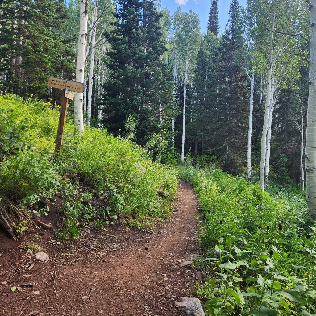
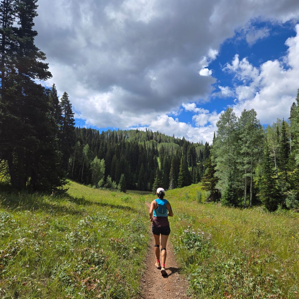
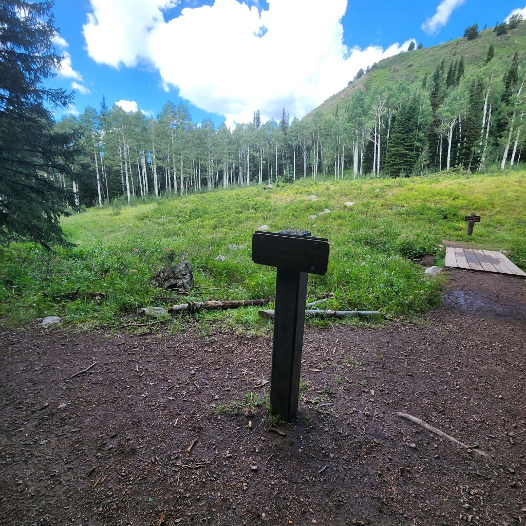
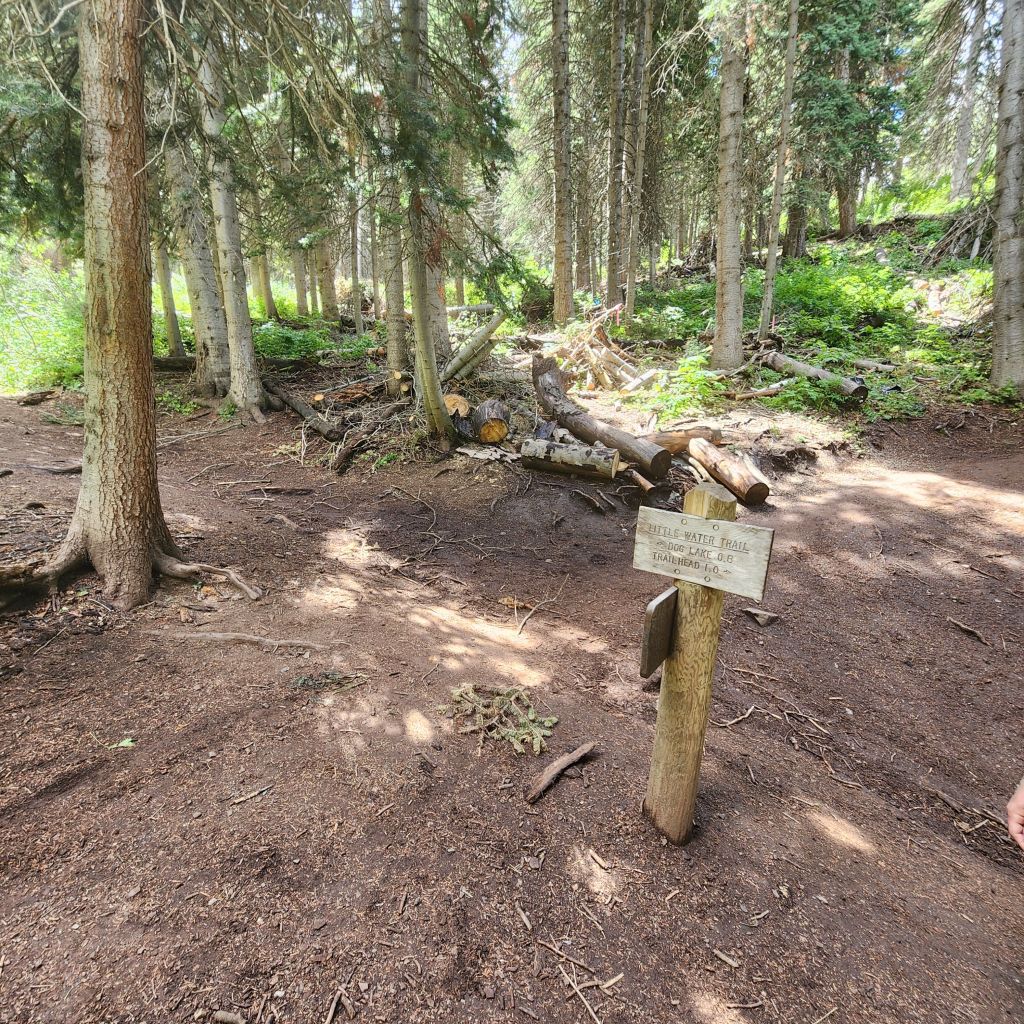
The trail starts in the main parking lot for the Mill D North Fork Trailhead. From the first step you start to climb. This hike is not easy, but available to all abilities. Your first intersection and sign is at 1.8 miles. If you end up doing the loop (more of a lollipop loop), this is where you will pop out at. Make sure to head right.
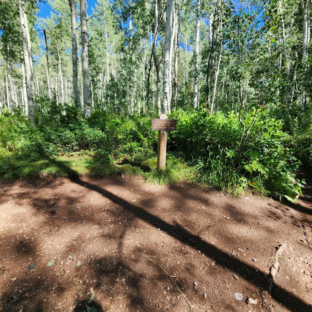
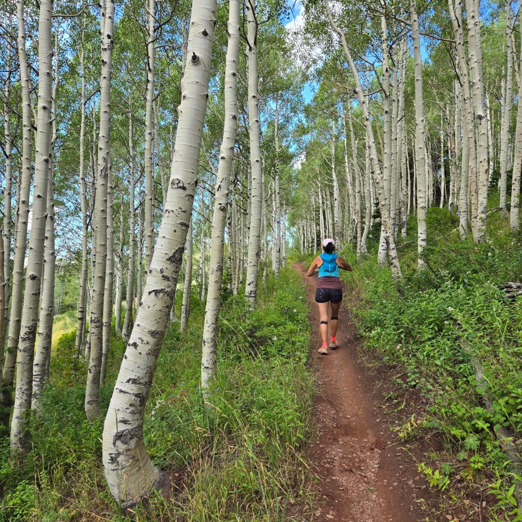
Your second intersection and sign is at 2.5 miles. Make sure to head right right into the aspen forest.
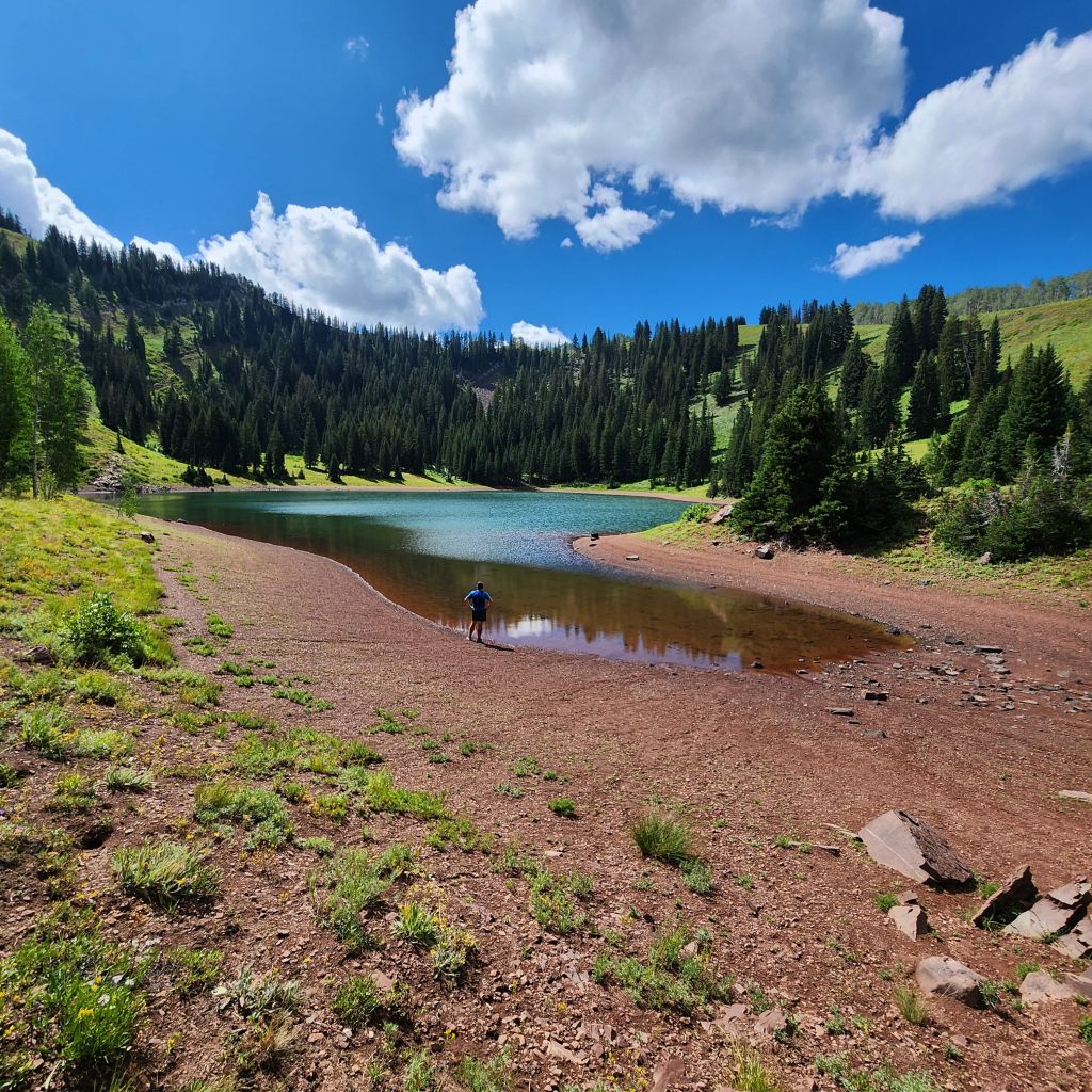
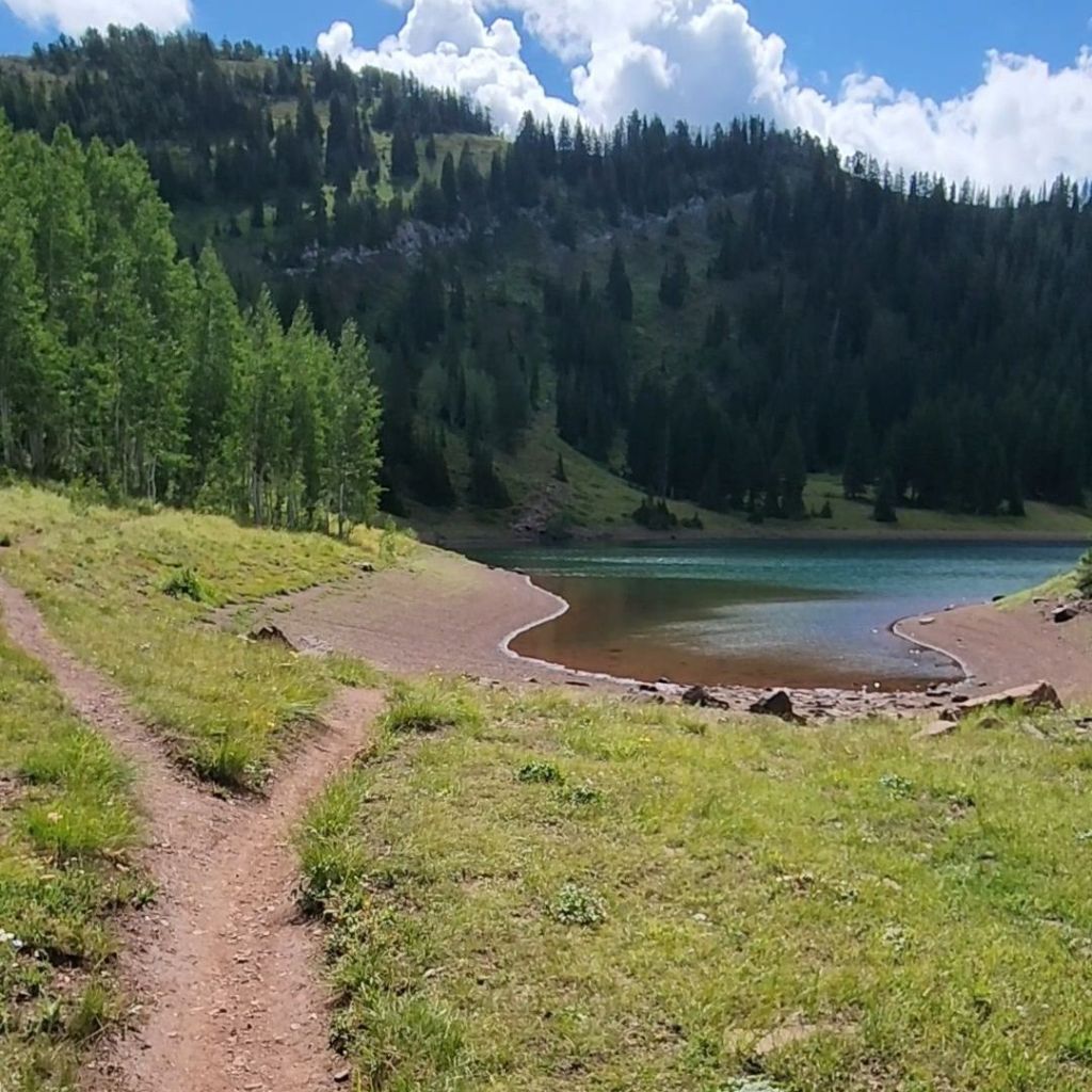
After 3.9 miles and a 1,979′ climb you have reached Desolation Lake! Desolation Lake was a beautiful blue lake against the mountain backdrop. You could take a dip, sit with a snack or watch the mountain bikers traveling along the Wasatch Crest Trail high above. Some choose to camp here for a night or two while exploring the area.
This is where you have a choice in turning around and making it the 7.8 mile hike or to continue on the trail to the Wasatch Crest Trail. If you decide to do the loop then take the trail to the left of the lake as you face it.
We knew it was a climb up to the Wasatch Crest Trail and it definitely was, but it was through another Aspen forest. I could only imagine how incredible it might be in the fall.
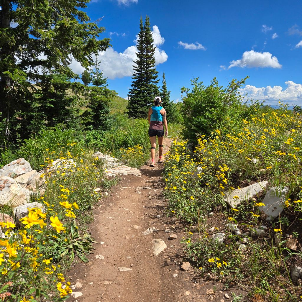
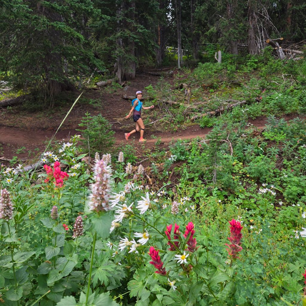
At 4.45 miles you will reach the Wasatch Crest Trail and you will have climbed 2,300′! You can go either right or left if you want to add on, we chose left to follow the loop. Another reason why you might want to choose left is if you go right you come to a huge climb that mountain bikers are bombing down. Also, the second lake is to the left! We had high expectations for the Wasatch Crest Trail. The views did not disappoint and the wildflowers were everywhere even in August!

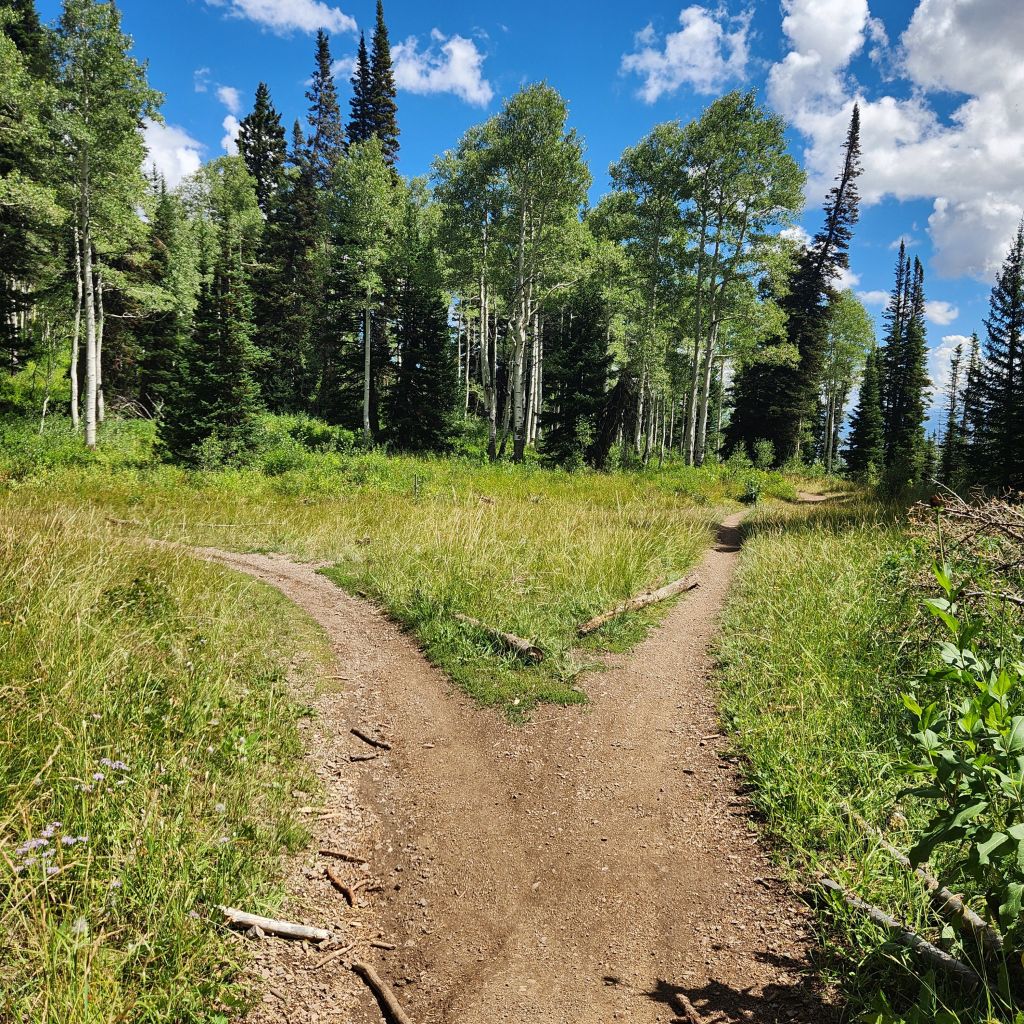
Now at this point it can get slightly tricky to making sure you make the loop. There are many intersections and side trails. With all the turns, it made the hike go so fast! At 6.65 miles make sure to head left.
A little reprieve on the legs after all that climbing. The trail was in perfect condition. Compact dirt.
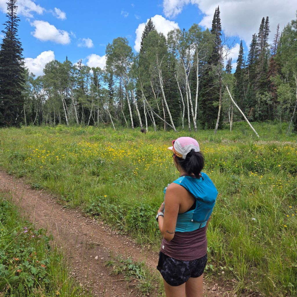
At the next intersection at 7.6 miles make sure to head left. This was odd for us because we were the only ones that went to the left. Everyone else went right. Not sure what we missed, but maybe next time.
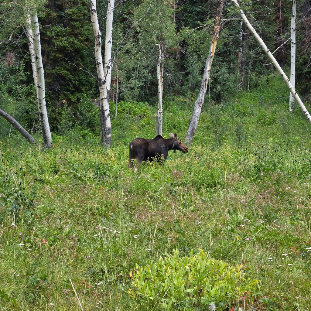
However, once we walked about 50 yards, we saw a moose! If we would have went the other way, we wouldn’t have seen her. The other trail sat above and behind trees so people walked by without have a clue! We kept our distance and made sure to walk slowly on the trail. She didn’t give a single thought to us and just kept eating wild flowers.
The trail feels like it is rolling hills for a bit. This was a joy to run on. It was cooler in the trees and the rain the day before had this section of trail in perfect condition. At this intersection you can go any way you please but to get to Dog Lake you will have to go left.
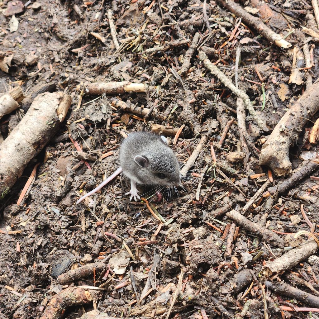
When we were heading up the incline, some mountain bikers came down. After they passed and a little ways up we came into contact with this little guy. We had to help him off the trail.
At the end of your climb at around 10.1 miles, you will come to another 4 way intersection. You might think to head right, but you need to go straight and climb a bit more.
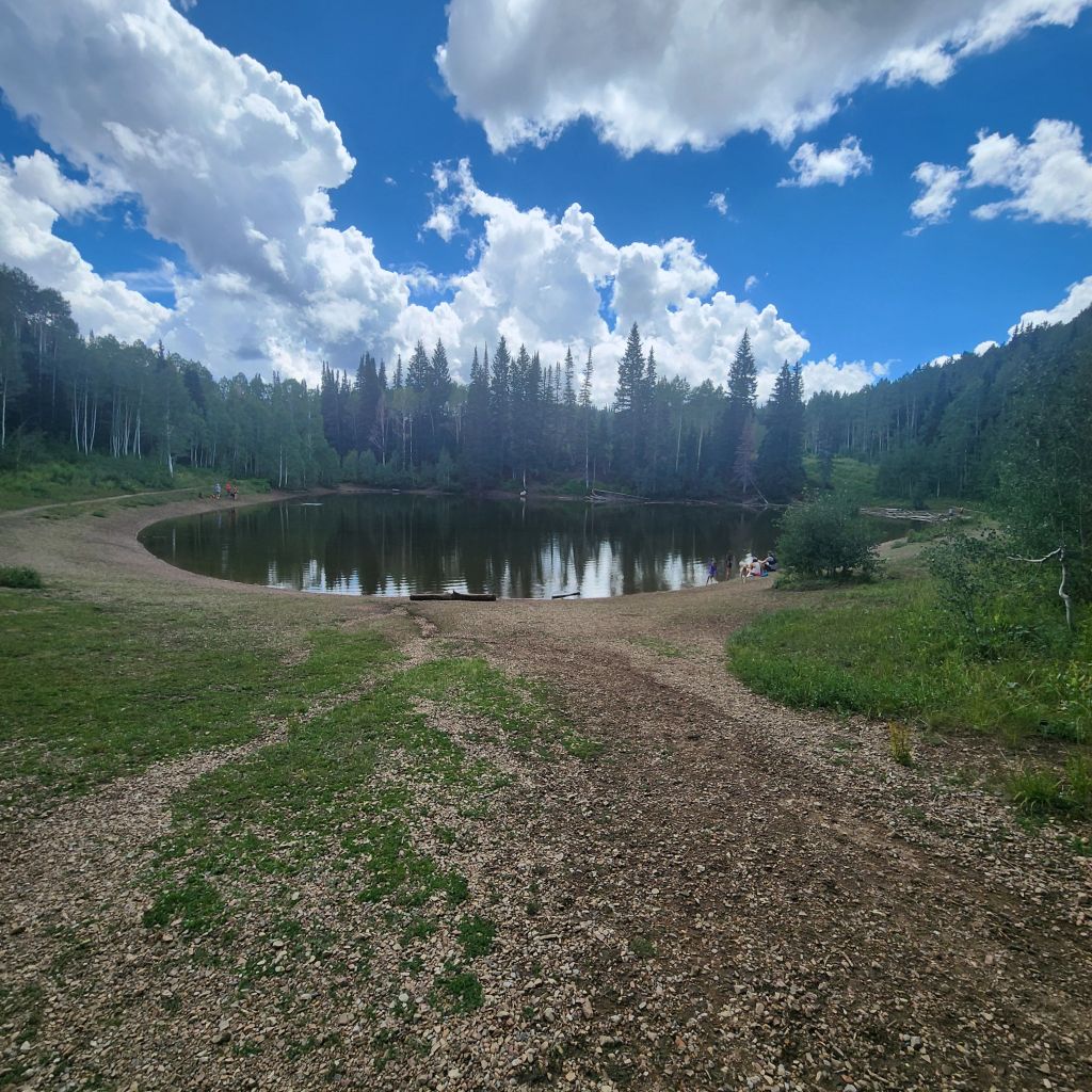
It isn’t that much longer, at 10.4 miles is dog lake! Sure enough there were dogs there playing in the water and families relaxing while having a snack. There are only a few areas where dogs allowed are in the area and this is one, probably where it got its name.
Then head to your left to continue on to that sign at the beginning of the hike. There are places to put your feet in the stream on a hot day. One of them is about a mile from the parking lot. It has easy access to the water so make sure to put your feet in or sit in it on a really hot day. It was actually a lot more humid that we were expecting. The stream couldn’t have come at a more perfect time.
I hope you get to enjoy this beautiful area.
Follow along to see what our next adventure is!
Love to pin, use this one!